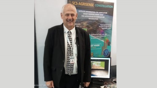
SCS Space CEO Dr Sias Mostert
Photo by: Creamer Media's Rebecca Campbell
South African space infrastructure company SCS Space, based in Stellenbosch in the Western Cape, is highlighting its SCS-Agrisense project at the 2023 Group on Earth Observations (GEO) Week and Ministerial Summit, being held at the Cape Town International Convention Centre. SCS-Agrisense is aimed at helping African countries to develop their own sustainable space programmes, with a focus on their agricultural sectors.
“African scientists lack access to hi-resolution satellite data,” SCS Space CEO Dr Sias Mostert points out in an exclusive interview with Engineering News. “It’s not only in terms of spatial resolution but especially, in fact, temporal resolution – the frequency of satellite overpasses. What is currently publicly available is 10 m spatial resolution, every five days.”
During the growing season, the requirements of agriculture necessitate regular overpasses. In Africa, the bulk of farmers have plots which range in size from 0.5 ha to 4 ha. Agrisense would deliver a spatial resolution of 5 m with overpasses every three to five days.
To do this, Agrisense would require a constellation of 24 to 40 nanosatellites. These would be based on the company’s nSight 6U satellite design. This is a “6U” nanosatellite design, meaning that it has dimensions of 30 cm x 20 cm x 10 cm. These nanosatellites would carry a seven-band multispectral imager providing a 20 km swath coverage at 5 m resolution. Seventy percent of the supply chain for the nSight 6U is South African.
“The Agrisense system provides economical access to data,” he assures. “We’re also providing collaboration opportunities to space agencies, both African and international.”
By space infrastructure, Mostert means systems of satellites plus their associated ground segments, as well as the consequent data processing and interfacing with the end-users of that data, whether governments, other agencies or commercial enterprises.
“This GEO conference is very important to us,” he affirms. “This is the largest collection of government users of geospatial information, and we build the space infrastructure that generates data for use by governments and commercial users.”