A mining edition of the GeoClerk interface is now available
An advanced geo-imagery search engine that intelligently extracts imagery and surrounding data from unstructured documents and then uses machine learning to classify them into geologically relevant categories, is now available for use in the mining sector.
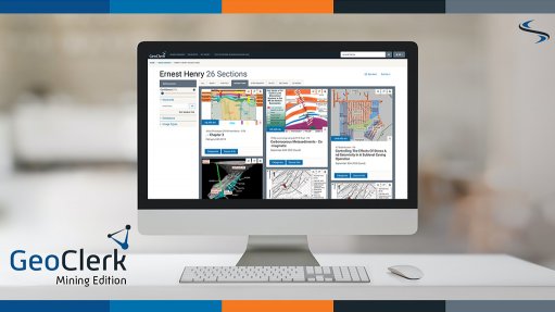
Australia-based service provider of global multi-client geoscience products for exploration and production companies, Searcher, has launched its GeoClerk platform mining edition.
The intuitive, Web-based interface is designed to enable simple and complex querying to provide images in categories such as maps, core photos, imagery, cross-sections and tables, which are all linked back to the original source documents.
GeoClerk works with government databases, mineral company websites, internal document libraries and institutional subscriptions to identify, define and present images in geologically relevant categories to easily extract information from historic and uncategorised documents. Over 1.2-million relevant images are already available in GeoClerk.
“Expanding into the mining industry, after 15 years of oil and gas focus, is an exciting new venture for Searcher. Industry feedback has been overwhelmingly positive since the launch of GeoClerk in the oil and gas industry. There was a clear demand for geoscientists from the mineral industry to utilize the geo-imagery search engine,” stated Searcher VP minerals Helen Anderson.
“Companies in both industries are looking to save time and resources, as well as make it easier to access their huge databases of old reports in storage units and modern computerised data, all through the visual aspect of images.”
GeoClerk Mining Edition is available as an annual subscription service.