Photo by: Dylan Slater/Creamer Media
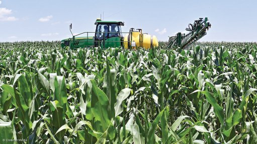
Airbus Defence and Space (Airbus DS), one of the companies of the Europe-based aerospace group Airbus, has launched a new service to support precision agriculture around the world. Precision agriculture is an approach to managing crops using remote sensing technologies (airborne and space-borne), satellite navigational systems and information technology to monitor the development and health of crops in each and every field of a farm.
Airbus DS’s new service is named Verde (“green” in Italian, Portuguese, Romanian and Spanish). It provides crop analytics, in detail, from satellite imagery, focused accurately on each field and “accurately de-clouded”. It is a plug-and-play Application Programming Interface for any precision agriculture portal.
“With Verde, we underline our ambition to become the reference player for precision agriculture portals,” affirmed Airbus DS intelligence business head François Lombard. “Both leveraging our wide imagery harvesting and our unrivalled crop analysis capabilities, we are offering a totally different way to derive agronomic information from satellite imagery.”
The main function of the service is to monitor the crop sowing or planting and growing season. It assists with the detection of anomalies, fertilisation, irrigation and crop protection.
Australian agricultural technology company DataFarming has already adopted Verde. DataFarming is based in Toowoomba, Queensland, but provides precision farming services for 7 500 customers all over the world. Verde will help the company to expand its product range.
The Verde service is powered by Airbus DS’s OneAtlas digital platform. The company describes OneAtlas as an “industry-leading collaborative environment, designed with and for users to access premium imagery, perform large-scale image processing, extract industry-specific insights and develop the smartest geospatial solutions”.